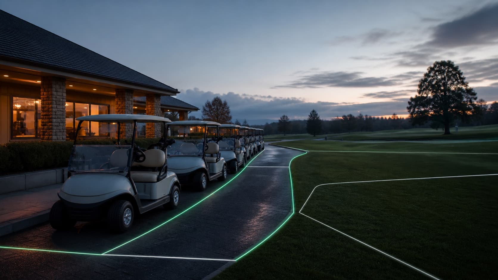
Golf courses already operate with boundaries: cart paths, greens, bunkers, native areas, water edges, return lanes, and restricted maintenance zones.
The opportunity is to make those boundaries useful to the cart workflow. A mapped cart operation can help operators see where carts should move, where they should return, and where exceptions start.
Boundaries are operational, not decorative
A boundary overlay is not valuable because it looks futuristic. It is valuable when it helps staff manage real decisions: where carts can travel, where they should slow down, where they should be returned, and which movement deserves attention.
That matters most on public-facing operations with high participation and many guest players moving through the same course assets.
What a useful cart map should include
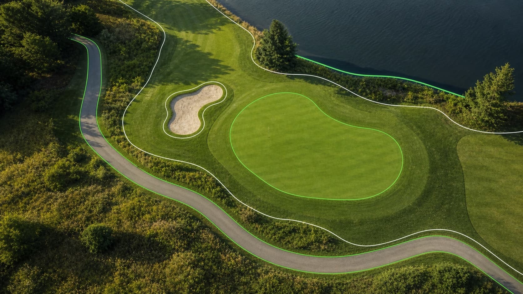
A practical geofence does not need to make the course look like a control room. It should start with the zones staff already think about: cart path corridors, return lanes, staging areas, greens, water edges, and restricted turf.
When those zones are connected to cart access, the operator can move from late discovery to earlier exception detection.
- Cart path corridors that define preferred movement.
- Green and bunker buffers that help protect sensitive areas.
- Return lanes that prove a cart made it back to the right place.
- Staging zones that show which carts are ready for the next wave.
- Exception zones that trigger manager review instead of guesswork.
Where Watchdog fits
Watchdog starts with paid digital access, but the same cart-level record can support mapped movement and return logic. The point is not to over-police a round. The point is to keep valuable assets visible.
If a cart leaves the expected area, stays out late, or returns to the wrong place, staff should learn that from the system instead of discovering it during a manual count.